
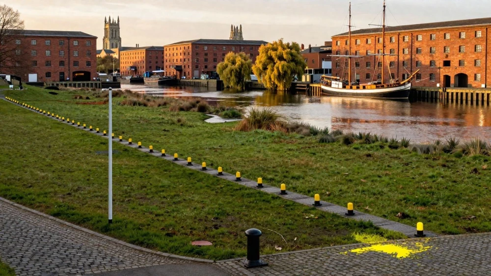
Topographical Surveys
Get in TouchAt Gloucester Surveys, we deliver expert topographical surveys to assist with detailed land and site mapping. Our surveys provide accurate data on terrain features, physical boundaries, and man-made structures, enabling precise planning and development.
We cater to various sites, including residential, commercial, and industrial properties, and ensure every survey meets our high standards. Trust us for thorough topographical assessments that help streamline your project .
Contact us for a detailed survey plan tailored to your needs.
Book Topographical Surveys Today
How Much Does a Topographical Survey Cost?
A topographical survey typically costs between £400 to £1,200, depending on various factors such as the site size and complexity. Larger sites may require more time, with surveys often taking two to three days to complete, especially if conducted in challenging terrains.
We use equipment such as total stations, GPS receivers, and laser scanners to gather precise measurements of the site's contours, elevations, and features. Accessibility also plays a role in pricing; more difficult-to-access areas might necessitate additional equipment or personnel.
Additionally, the level of detail required, such as mapping underground utilities, can influence the cost. We offer competitive pricing to match your survey requirements, with clear explanations of what each quote covers.
For a tailored estimate, reach out to us at Gloucester Surveys for a precise quotation.
What Types of Topographical Surveys Are Available?
Topographical surveys include several options to match specific needs, involving various methods and equipment to gather precise data:
Detail Surveys: Use total stations and GPS receivers to capture detailed data on surface features like trees, buildings, and fences. This type is crucial for planning developments and renovations.
Level Surveys: Employ laser levels and levelling stations to focus on elevation and contours, offering valuable insights for drainage planning and earthworks. These surveys help in ensuring that construction complies with regional standards on elevation.
Boundary Surveys: Use electronic distance measurement (EDM) equipment to verify and map property lines accurately. These are essential for resolving ownership disputes and facilitating land transactions.
Each type serves distinct purposes. We guide you in choosing the best fit for your project, ensuring compliance with industry standards like the RICS and offering precise, reliable data for informed decision-making.
How Does a Topographical Survey Work?
Conducting a topographical survey generally involves the following steps:
Initial Consultation: We discuss your project requirements and survey objectives, considering factors such as terrain complexity and required precision levels. This stage ensures we understand any specific challenges related to the site, such as vegetation density or urban obstacles.
Site Visit: Our surveyors visit the site to collect data using total stations and GPS technology. These instruments accurately measure angles and distances, capturing elevation changes and identifying man-made features like fences or buildings. We also check for underground utilities using ground-penetrating radar if necessary.
Data Processing: We analyse the collected data to develop a map, using CAD software to convert raw measurements into detailed topographical models. This step ensures accurate representation of the land's features and is essential for planning and design.
Delivery: The final survey report is delivered in both digital and printed formats, including detailed plans compliant with RICS standards, ensuring they meet planning application or construction requirements.
Our thorough process ensures precise and actionable results for your project, helping clients like architects and engineers make informed decisions. Contact us to start your survey.
How Long Does a Topographical Survey Take?
Most topographical surveys are completed within one to three days, depending on the site's size and complexity. For larger sites or those with challenging terrains, such as uneven landscapes or densely vegetated areas, the survey might extend to four or five days.
We use precise equipment like total stations and GPS receivers to gather data efficiently. Each method is selected based on the site's needs: total stations are ideal for detailed measurements, while GPS receivers are suited to wider areas.
Data processing and report delivery typically add an additional two to four days, as we generate detailed maps, plans, and 3D models that meet industry standards such as RICS (Royal Institution of Chartered Surveyors) specifications.
Consider contacting our team to discuss the specifics of your site for a more accurate timeframe.
What Are the Benefits of Topographical Surveys?
Topographical surveys offer several key benefits, providing an understanding of a site's physical features. By employing advanced equipment such as total stations and GPS units, we can accurately record elevations, contours, and natural features.
This detailed mapping is essential for:
Accurate Planning: Provides essential data for architects and engineers, facilitating precise design and layout decisions for structures and infrastructure.
Property Boundaries: Clarifies property lines, reducing potential disputes, and providing assurance for developers and landowners.
Site Development: Aids in efficient design and construction planning by providing detailed information about slope, vegetation, and existing structures, minimising costly errors and rework.
Regulatory Compliance: Ensures adherence to local regulations and standards by documenting site conditions and potential environmental constraints, such as protected trees or conservation areas.
These advantages make topographical surveys crucial for successful project execution, enabling informed decision-making and reducing potential risks. Contact us to discuss your project requirements today.
Speak to a Topographical Surveys Expert
Why Choose Gloucester Surveys for Topographical Surveys?
At Gloucester Surveys, we are committed to delivering precise and comprehensive topographical surveys. Our experienced surveyors use equipment such as total stations and GPS receivers to ensure accurate data collection.
We also employ aerial photogrammetry and laser scanning to capture detailed site information efficiently. Our reports include essential details like contour mapping, site boundaries, and existing features, helping streamline your project planning and development.
We adhere to standards set by the Royal Institution of Chartered Surveyors (RICS) to guarantee the reliability of our surveys. Our topographical surveys are suitable for a breadth of clients, including architects, engineers, and property developers, allowing them to visualise and analyse the terrain accurately.
We pride ourselves on delivering insights that enhance decision-making and project efficiency. When you choose us, you gain a trusted partner ready to meet your surveying needs.
Frequently Asked Questions
How do I maintain the survey data?
After receiving your topographical survey report, keep digital copies stored securely. Regularly reviewing the data in line with development stages can help maintain its relevance.
What guarantee comes with your services?
We stand by our topographical surveys with a customer satisfaction guarantee. We promise accuracy and thoroughness in each survey conducted.
Can I request specific data points in my survey?
Yes, our team at Gloucester Surveys is flexible and can tailor surveys around your specific requirements. Contact us to discuss your needs.
Which areas do you cover for topographical surveys?
We conduct topographical surveys primarily and are equipped to address any details associated with .
Are your surveyors qualified?
Absolutely. Our surveyors at Gloucester Surveys are highly trained and experienced, ensuring each survey is carried out with precision.
Get a Free Quote for Topographical Surveys
Contact Gloucester Surveys today to arrange a topographical survey . Contact us today and let us support your project with precision and expertise.